


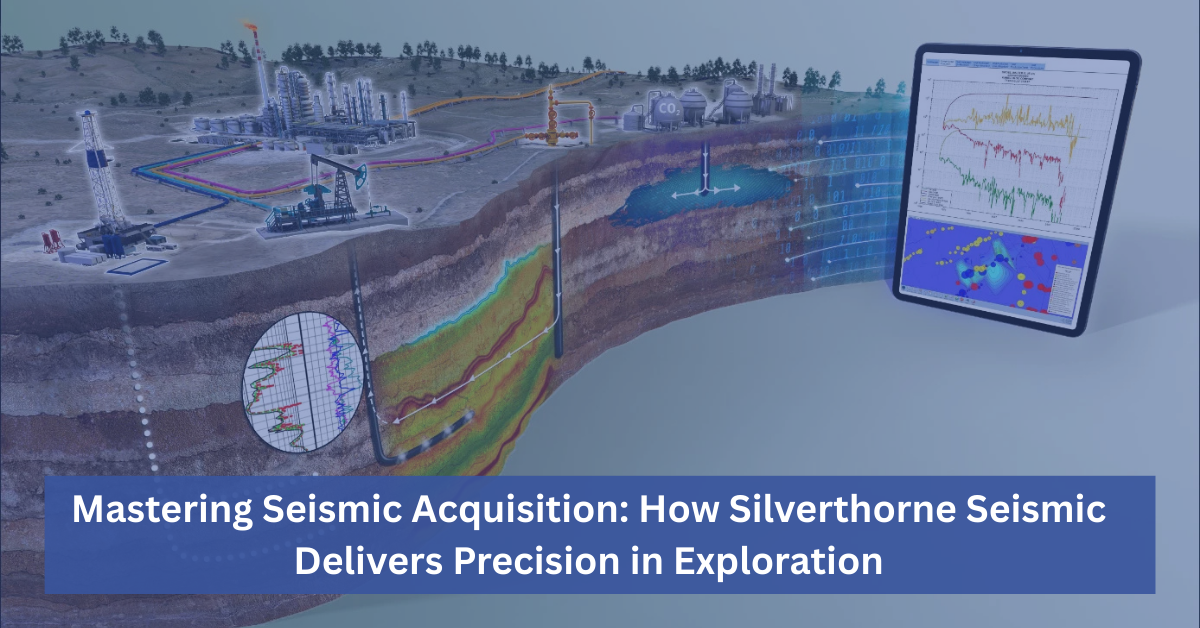

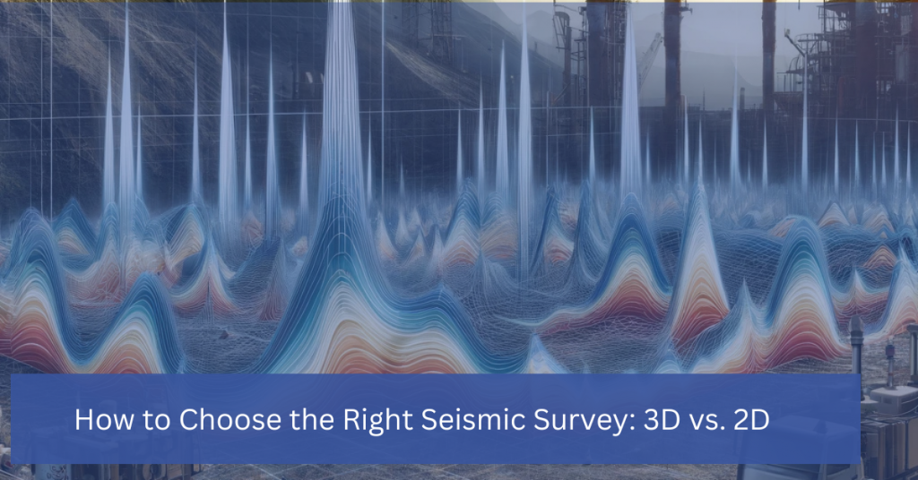
Seismic surveys are a crucial tool for mapping and analyzing subsurface formations in the oil and gas industry. They provide critical insights that help geologists, engineers, and exploration teams make informed decisions about where to drill and how to develop a field. However, one of the most important decisions a company must make is choosing between a 2D seismic survey and a 3D seismic survey. This decision has significant implications for data accuracy, project timelines, and overall cost.
Let’s explore the key differences between 2D and 3D seismic surveys, their respective costs, and how to determine which is the right choice for your project.
What is a 2D Seismic Survey?
A 2D seismic survey is the more traditional method of seismic data acquisition. It involves sending seismic waves into the Earth along a single line. These waves bounce back when they hit different subsurface layers, and the reflections are recorded by sensors (geophones). The data is then processed to create a two-dimensional cross-sectional image of the underground formations.
Advantages of 2D Seismic Surveys:
– Lower cost: A 2D seismic survey cost is significantly lower than a 3D survey. It requires fewer resources, less time for data collection, and less complex data processing.
– Faster turnaround: Because there is less data to collect and process, 2D surveys typically provide results more quickly, making them ideal for initial exploration or regional mapping.
– Effective for large areas: 2D surveys are often used to cover large, unexplored regions where the goal is to identify broad geological trends rather than fine details.
Disadvantages of 2D Seismic Surveys:
– Limited detail: 2D surveys offer a relatively basic view of the subsurface, which can be insufficient for identifying smaller or more complex reservoirs.
– Higher risk: The limited data means there is a higher chance of drilling errors or missed opportunities, as the simplified view might not capture critical geological features.
What is a 3D Seismic Survey?
A 3D seismic survey is a more advanced technique that collects data across multiple lines, creating a detailed three-dimensional model of the subsurface. Instead of a single cross-section, 3D seismic surveys capture a full volume of data, offering a much clearer and more precise image of underground formations.
Advantages of 3D Seismic Surveys:
– Greater accuracy: The 3D model provides a much clearer and more detailed representation of the subsurface, which is particularly valuable when targeting smaller or more complex reservoirs.
– Reduced risk: With a higher level of detail, 3D surveys help minimize the risk of drilling dry wells or encountering unexpected geological issues.
– Improved decision-making: The data from a 3D survey can be used for detailed reservoir characterization, helping companies optimize drilling locations and field development strategies.
Disadvantages of 3D Seismic Surveys:
– Higher cost: A 3D seismic survey cost is substantially higher than a 2D survey. This is due to the more extensive data collection process, the larger number of sensors required, and the more complex data processing and interpretation.
– Longer timelines: With more data to collect and process, 3D surveys often take longer to complete, which can delay decision-making in time-sensitive projects.
Comparing 2D vs. 3D Seismic Surveys
| Factor | 2D Seismic Survey | 3D Seismic Survey |
|---|---|---|
| Cost | Lower | Higher |
| Data Detail | Basic cross-sectional view | High-resolution 3D model |
| Application | Regional exploration | Detailed reservoir analysis |
| Risk | Higher risk of drilling errors | Lower risk, more precise |
| Turnaround Time | Turnaround Time | Faster, Simpler |
How to Choose the Right Seismic Survey for Your Project
Choosing between a 2D seismic survey and a 3D seismic survey depends on several factors, including your project’s goals, budget, and timeline. Here are some key considerations to help you make the right choice:
- Project Goals:
– If your goal is to perform regional exploration or get a broad understanding of a large area, a 2D seismic survey may be the best option. It will provide a quick, cost-effective overview that can help you identify promising areas for further exploration.
– If you are looking to pinpoint precise drilling locations or analyze complex reservoirs in detail, a 3D seismic survey is essential. The detailed data will allow you to optimize your exploration and production strategies.
- Budget:
– 3D seismic survey costs are higher, so if you are working with a limited budget or exploring a region with uncertain prospects, starting with a 2D survey can help minimize upfront costs.
– However, if you are confident in the potential of a reservoir and need high-precision data to guide development, the investment in a 3D survey can save you money in the long run by reducing drilling errors and maximizing recovery.
- Timeline:
– If you need quick results, a 2D seismic survey offers faster data collection and processing, allowing you to make decisions more quickly.
– For more detailed projects where accuracy is paramount, the extra time required for a 3D seismic survey can be worthwhile, even if it means a longer timeline.
- Risk Tolerance:
– 2D seismic surveys carry a higher risk of missing important geological features or making inaccurate predictions. If minimizing risk is a priority, investing in a 3D seismic survey is a smarter choice.
Both 2D and 3D seismic surveys play important roles in oil and gas exploration, but they serve different purposes. 2D seismic surveys offer a quick, cost-effective way to explore large areas and get a general idea of the subsurface. However, when precision is key, and you need a detailed understanding of a reservoir’s structure, 3D seismic surveys are the gold standard, providing the high-resolution data required for successful drilling and production.
By carefully weighing the costs, risks, and objectives of your project, you can choose the right seismic survey to ensure the best possible outcomes for your exploration efforts.