Silverthorne Seismic, LLC

Seismic Studies

The Seismic Studies category dives into the science and application of seismic techniques to investigate the Earth’s subsurface. This category covers the use of seismic waves to map geological structures, identify resources like oil and gas, and assess geohazards such as faults and landslides. Explore how seismic surveys, enhanced by tools like geological data libraries and geophysical methods, provide critical insights for exploration, environmental management, and infrastructure safety, bridging cutting-edge technology with real-world geological challenges.
Geospatial Reference in Seismic Studies

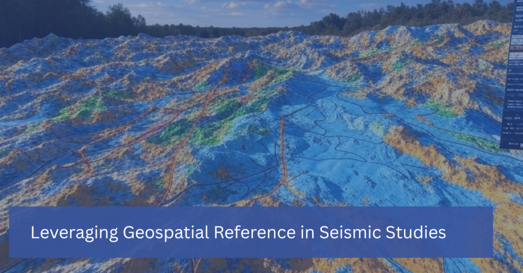
Leveraging Geospatial Reference in Seismic Studies

In seismic studies, understanding the precise location of underground structures is just as important as interpreting the data itself. This is where geospatial reference comes into play. Geospatial technology, which incorporates geographic information systems (GIS), remote sensing, and GPS, provides the framework for mapping and analyzing the spatial relationships between geological features. By leveraging geospatial […]

Leveraging Geospatial Reference in Seismic Studies Read More »
Geological Data Libraries

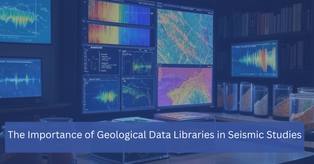
The Importance of Geological Data Libraries in Seismic Studies

In the realm of seismic studies, having access to comprehensive and well-organized geological data is critical. A geological data library serves as a centralized repository of subsurface information, offering vital insights that support seismic interpretation, exploration, and decision-making. Whether for oil and gas exploration, environmental assessments, or understanding geohazards, these libraries are indispensable resources for

The Importance of Geological Data Libraries in Seismic Studies Read More »

Scroll to Top