Silverthorne Seismic, LLC

Environmental Science

Geospatial Reference in Seismic Studies

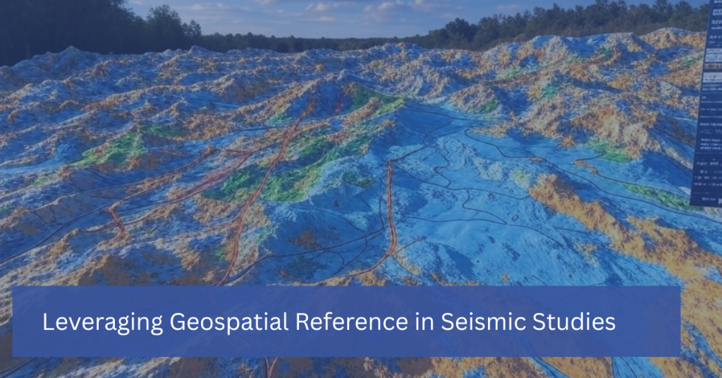
Leveraging Geospatial Reference in Seismic Studies

In seismic studies, understanding the precise location of underground structures is just as important as interpreting the data itself. This is where geospatial reference comes into play. Geospatial technology, which incorporates geographic information systems (GIS), remote sensing, and GPS, provides the framework for mapping and analyzing the spatial relationships between geological features. By leveraging geospatial […]

Leveraging Geospatial Reference in Seismic Studies Read More »
Gravity and Magnetic Surveys

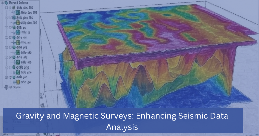
Gravity and Magnetic Surveys: Enhancing Seismic Data Analysis

In the world of subsurface exploration, seismic data analysis is a powerful tool that helps industries like oil and gas, mining, and environmental science uncover valuable underground resources. However, when used alone, seismic data might not provide a complete picture of the subsurface. This is where gravity and magnetic surveys come into play, offering complementary

Gravity and Magnetic Surveys: Enhancing Seismic Data Analysis Read More »

Scroll to Top