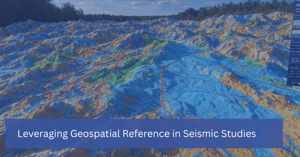


In seismic studies, understanding the precise location of underground structures is just as important as interpreting the data itself. This is where geospatial reference comes into play. Geospatial technology, which incorporates geographic information systems (GIS), remote sensing, and GPS, provides the framework for mapping and analyzing the spatial relationships between geological features. By leveraging geospatial reference, geophysicists and engineers can gain deeper insights into the Earth’s subsurface and make more informed decisions during exploration and development projects.
In this blog, we’ll explore how geospatial reference enhances seismic studies and why integrating these technologies is crucial for successful exploration, resource management, and hazard assessment.
What is Geospatial Reference?
Geospatial reference involves using spatial data to pinpoint the precise locations and relationships of natural and man-made features on or beneath the Earth’s surface. This data is often collected through technologies such as GPS, satellite imagery, and remote sensing, which provide accurate geographic coordinates for objects or structures.
When applied to seismic studies, geospatial reference helps map seismic survey data to real-world locations, allowing geophysicists to align subsurface structures with surface landmarks and geographic features. This process is critical for accurately interpreting seismic data and translating it into actionable insights for exploration and development.
The Role of Geospatial Reference in Seismic Studies
- Accurate Data Alignment and Mapping
One of the primary advantages of using geospatial reference in seismic studies is the ability to accurately align seismic data with real-world geographic coordinates. This ensures that the subsurface models generated from seismic surveys correspond to the correct locations on the Earth’s surface.
For example, in oil and gas exploration, seismic surveys are conducted to locate underground reservoirs. Without precise geospatial reference data, it would be difficult to accurately determine the exact location of a potential reservoir in relation to surface landmarks, wells, or infrastructure. Geospatial technology allows companies to map seismic data to real-world locations, reducing the risk of drilling errors and increasing the likelihood of successful resource extraction.
- Improved Visualization and Data Interpretation
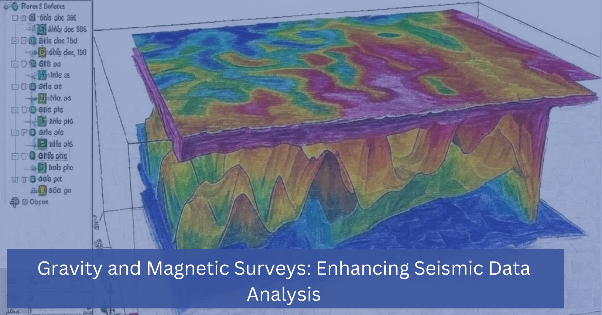
Integrating geospatial reference with seismic studies enhances data visualization, making it easier to interpret complex subsurface structures. By layering seismic data on top of GIS maps, geophysicists can create detailed 3D models that provide a comprehensive view of the underground environment. These models help identify geological features such as faults, folds, and hydrocarbon traps.
Additionally, by visualizing seismic data in a geospatial context, decision-makers can assess how subsurface structures relate to surface features such as roads, rivers, and cities. This is particularly important for ensuring that exploration activities do not interfere with existing infrastructure or protected areas.
- Enhanced Collaboration Across Teams
Geospatial reference data enables seamless collaboration across various teams involved in exploration and development projects. By using GIS platforms, geophysicists, engineers, and environmental scientists can share geospatial data in a format that is easy to understand and analyze.
For example, during the planning phase of a drilling project, geophysicists can use geospatial reference to highlight areas of interest on a map and share that information with drilling engineers. This helps teams align their efforts, ensuring that drilling locations are optimized for both resource extraction and environmental protection.
- Risk Mitigation and Environmental Assessment
In addition to improving exploration outcomes, geospatial reference plays a crucial role in mitigating risks and assessing environmental impacts. By incorporating geospatial data into seismic studies, companies can identify areas that may be at risk of geohazards such as earthquakes, landslides, or subsidence.
For example, seismic data combined with geospatial reference can help determine the proximity of fault lines to critical infrastructure or residential areas, guiding decision-makers to adjust their development plans accordingly. This reduces the risk of environmental damage, protects public safety, and ensures regulatory compliance.
- Real-Time Data Collection and Monitoring
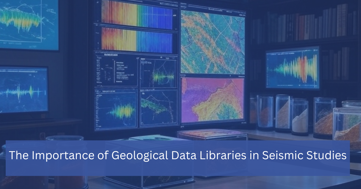
One of the most powerful applications of geospatial reference in seismic studies is real-time data collection and monitoring. Using GPS and other geospatial tools, companies can track the movement of equipment, monitor seismic survey progress, and update subsurface models in real time.
For instance, during a seismic survey, geospatial reference data can be used to monitor the exact location of geophones, seismic source points, and receivers. This ensures that all equipment is correctly positioned to capture the most accurate data possible. Furthermore, real-time monitoring allows for immediate adjustments in survey design, improving efficiency and reducing operational costs.
Applications of Geospatial Reference in Seismic Studies
- Oil and Gas Exploration
In the oil and gas industry, geospatial reference is used to precisely locate potential hydrocarbon reservoirs and optimize drilling operations. By integrating seismic data with geospatial maps, companies can pinpoint the most promising locations for drilling and ensure that operations are conducted safely and efficiently.
- Mineral Exploration
Mineral exploration also benefits from the use of geospatial reference in seismic studies. Geophysicists can use geospatial data to identify areas rich in mineral deposits and plan exploration activities that minimize environmental impacts.
- Environmental Studies and Geohazard Assessment
Geospatial reference is invaluable for assessing environmental risks and mitigating the impacts of natural disasters. By combining seismic data with geospatial information, researchers can evaluate the potential for earthquakes, landslides, or subsidence and develop strategies to protect infrastructure and communities.
- Urban Planning and Infrastructure Development
In urban planning and infrastructure projects, geospatial reference helps ensure that new developments are built on stable ground. Seismic studies that incorporate geospatial data can reveal subsurface conditions that may affect the integrity of buildings, roads, and bridges.
Geospatial reference is a critical tool in seismic studies, enabling more accurate data alignment, improved visualization, and enhanced collaboration across teams. By integrating geospatial technology with seismic data, companies can optimize exploration efforts, mitigate risks, and make better-informed decisions.
Whether you’re working in oil and gas exploration, environmental studies, or infrastructure development, leveraging geospatial reference will provide you with the insights needed to achieve successful outcomes while protecting the environment and ensuring the safety of communities.
Contact Us Today To Learn How We Can Help With Your Seismic needs.