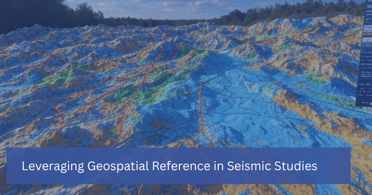

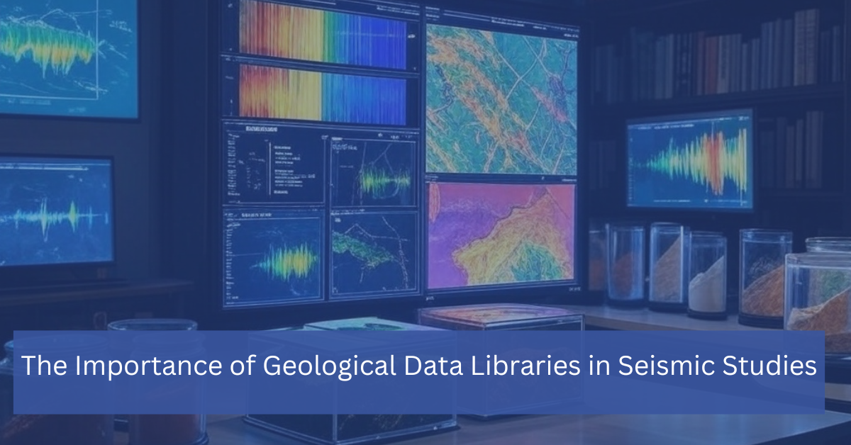


In the world of subsurface exploration, seismic data analysis is a powerful tool that helps industries like oil and gas, mining, and environmental science uncover valuable underground resources. However, when used alone, seismic data might not provide a complete picture of the subsurface. This is where gravity and magnetic surveys come into play, offering complementary insights that enhance seismic data analysis and lead to more accurate exploration and resource identification.
In this blog, we’ll explore how gravity and magnetic surveys work, their role in supporting seismic studies, and why integrating these methods can improve the accuracy of subsurface interpretations.
What Are Gravity and Magnetic Surveys?
Gravity and magnetic surveys are geophysical techniques used to measure variations in the Earth’s gravitational and magnetic fields. These variations provide information about the composition, structure, and distribution of different materials beneath the Earth’s surface.
– Gravity surveys measure changes in the Earth’s gravitational field, which can indicate variations in rock density. Denser materials, such as ore bodies or certain rock types, exert a stronger gravitational pull, while less dense materials produce weaker signals.
– Magnetic surveys measure variations in the Earth’s magnetic field caused by differences in the magnetic properties of subsurface rocks. Magnetic anomalies are often associated with ore deposits, faults, and other geological features.
These methods are non-invasive, meaning they can be applied over large areas without the need for drilling or excavation. As a result, gravity and magnetic surveys are ideal for preliminary exploration or when combined with seismic data to gain a more complete understanding of the subsurface.
How Gravity and Magnetic Surveys Enhance Seismic Data Analysis
- Providing a Broader Subsurface Perspective
Seismic surveys are excellent for providing detailed images of subsurface structures, but they primarily focus on mapping the boundaries between rock layers based on how seismic waves travel through different materials. Gravity and magnetic surveys, on the other hand, offer complementary information that can highlight variations in rock composition and density that seismic data alone might miss.
For example, in oil and gas exploration, seismic data can reveal the structure of a potential reservoir, but gravity and magnetic data can provide insights into the types of rocks surrounding the reservoir, indicating whether it is likely to contain hydrocarbons. By combining seismic data with gravity and magnetic surveys, exploration teams gain a more comprehensive view of the subsurface, leading to more accurate predictions and better-informed drilling decisions.
- Identifying Key Geological Features
Gravity and magnetic surveys are particularly useful for identifying specific geological features, such as faults, folds, salt domes, and igneous intrusions, which are often associated with valuable resources like oil, gas, and minerals. These features can also be linked to subsurface hazards, such as unstable fault zones or areas prone to landslides.
By detecting variations in the gravitational and magnetic fields, geophysicists can map these features with precision. When combined with seismic data, this information provides a clearer picture of subsurface structures, helping companies target their exploration efforts more effectively and reduce the risk of costly errors.
- Reducing Exploration Risks
Exploration activities are expensive, and drilling in the wrong location can be a costly mistake. By integrating gravity and magnetic surveys with seismic data, companies can significantly reduce the risks associated with exploration. These complementary techniques allow for better characterization of the subsurface, enabling exploration teams to make more informed decisions about where to drill or mine.
For instance, a gravity survey might indicate the presence of a dense body of rock, suggesting a potential ore deposit. However, without seismic data, it may be difficult to determine the exact shape or depth of the deposit. By combining gravity and seismic data, companies can confidently assess whether the deposit is worth pursuing.
- 4. Mapping Large Areas Efficiently
One of the key advantages of gravity and magnetic surveys is their ability to cover large areas quickly and efficiently. This makes them ideal for regional-scale exploration or for gaining an initial understanding of a region’s subsurface geology before conducting more detailed seismic surveys.
For example, in mining exploration, magnetic surveys can be used to scan large tracts of land for magnetic anomalies that may indicate the presence of mineral deposits. Once an area of interest is identified, more detailed seismic studies can be conducted to map the specific structures in the region. This sequential approach helps companies prioritize their exploration efforts, saving time and resources.
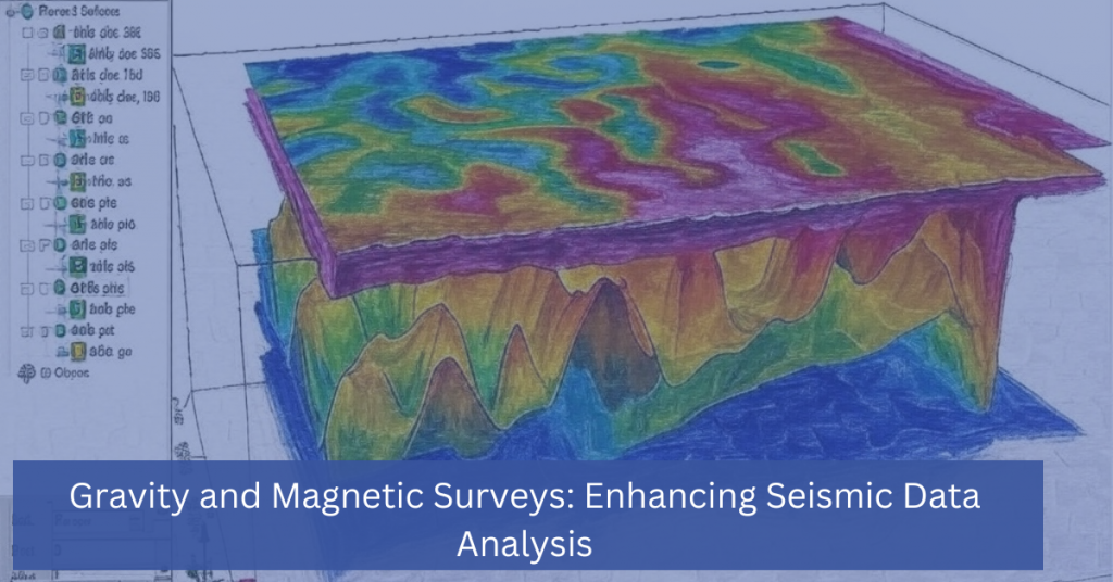
- Enhancing Data Interpretation with 3D Modeling
When gravity and magnetic surveys are integrated with seismic data, the resulting dataset can be used to create detailed 3D models of the subsurface. These models provide a more accurate representation of the underground environment, allowing geophysicists to visualize geological features in three dimensions.
For example, a magnetic survey might reveal the location of a buried fault, while seismic data can show how deep the fault extends and how it affects the surrounding rock layers. By combining both datasets into a 3D model, exploration teams can better understand the subsurface environment and make more informed decisions about resource extraction or infrastructure development.
Applications of Gravity and Magnetic Surveys
- Oil and Gas Exploration
In the oil and gas industry, gravity and magnetic surveys are often used in conjunction with seismic data to locate hydrocarbon reservoirs and assess potential drilling sites. These methods help exploration teams identify key geological features, such as salt domes, which can trap oil and gas, or volcanic intrusions, which can impact reservoir quality.
- Mining Exploration
Gravity and magnetic surveys are widely used in the mining industry to locate mineral deposits. Magnetic surveys, in particular, are useful for detecting iron ore, nickel, and other magnetic minerals. Gravity surveys can help identify dense ore bodies, such as those containing lead or zinc, which may not produce significant magnetic anomalies.
- Environmental and Geohazard Assessment
Gravity and magnetic surveys are also used in environmental studies and geohazard assessments. These methods can detect subsurface features that pose risks to infrastructure or public safety, such as underground cavities, fault lines, or areas prone to subsidence. By identifying these features early, companies can take preventive measures to mitigate potential hazards.
Gravity and magnetic surveys are valuable tools that complement seismic data analysis, providing a more complete understanding of the subsurface. By measuring variations in the Earth’s gravitational and magnetic fields, these surveys reveal key geological features, improve subsurface mapping, and reduce exploration risks. When integrated with seismic data, they enhance data interpretation, leading to more accurate exploration outcomes and better decision-making.
Whether you’re exploring for oil, gas, minerals or assessing geohazards, leveraging gravity and magnetic surveys alongside seismic studies offers a cost-effective and efficient way to gain deeper insights into the Earth’s hidden resources and hazards.
Contact Us Today To Learn How We Can Help With Your Survey needs.